Ditapis dengan

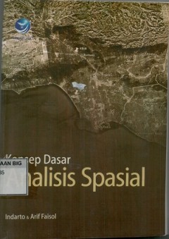
Konsep dasar analisis spasial
Buku ini bisa dipakai sebagai panduan dalam pelatihan SIG dan remote sensing serta dapat dipakai oleh mahasiswa, dosendan semua[ihak yang ingin memperdalam pengetahuan mengenai Analisis Spasial. karena dalam buku ini meggunakan software ArcGIS 10, biarpun software lain tidak jauh berbeda, sehingga aspek teori yang dipaparkanpada buku ini juga dapat diadopsi untuk spftware GIS yang lain
- Edisi
- -
- ISBN/ISSN
- 978-979-29-3354-3
- Deskripsi Fisik
- x, 254 hlm. : illus.
- Judul Seri
- -
- No. Panggil
- 910.285 IND k

Tutorial ringkas ArcGis -10
- Edisi
- -
- ISBN/ISSN
- -
- Deskripsi Fisik
- v, 35 hlm. illus. 29 cm.
- Judul Seri
- -
- No. Panggil
- 526 IND t
- Edisi
- -
- ISBN/ISSN
- -
- Deskripsi Fisik
- v, 35 hlm. illus. 29 cm.
- Judul Seri
- -
- No. Panggil
- 526 IND t

Reference frames for applications in geosciences: Proceedings, of thrssymposi…
Reference systems and frames are of primary importance for many Earth science applications, satellite navigation as well as for practical applications in geo-information. A precisely defined reference frame is needed for the quantification of , e.g. Earth rotation and its gravity field, global and regional sea level variation, tectonic mation and deformation, post-glacial rebound, gecenter m…
- Edisi
- -
- ISBN/ISSN
- 978-3-642-32998-2
- Deskripsi Fisik
- xiii, 283 hlm. : illus,
- Judul Seri
- -
- No. Panggil
- 550 ZUH r

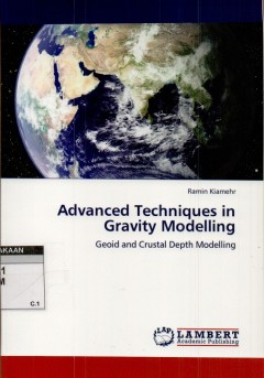
Advanced techniques in gravity modelling
This book try to investigate the procedure fot combining heterogeneous data for medelling of the gravity data. Advanced methods based on the least-squares modification of Stokes’s approach is investigated for local geoid modeling. Inverse gravity modeling for estimation of the crustal depth model is illustrated in details with the numerical case studies. Also, application of satellite altimet…
- Edisi
- -
- ISBN/ISSN
- 978-3-8443-1608-7
- Deskripsi Fisik
- vi, 86 hlm. : illus.
- Judul Seri
- -
- No. Panggil
- 526.1 RAM a
Hidrologi dasar teori dan contoh aplikasi model hidrologi
- Edisi
- -
- ISBN/ISSN
- 978-979-010-579-9
- Deskripsi Fisik
- xx, 280 hlm.: illus.
- Judul Seri
- -
- No. Panggil
- 551.48 IND h
- Edisi
- -
- ISBN/ISSN
- 978-979-010-579-9
- Deskripsi Fisik
- xx, 280 hlm.: illus.
- Judul Seri
- -
- No. Panggil
- 551.48 IND h
Teori dan praktek penginderaan jauh
Buku ini memaparkan konsep fundamental tentang Penginderaan Jauh (PJ) atau Remote Sensing (RS), sekaligus tutorial pengolahan citra satelit dan satelite. Dan buku ini memberikan bekal pengetahuan teoritis tentang penginderaan jauh kepada masyarakat di Indonesia, utamannya bagi mahasiswa S1dari semuabidangilmu yang menggunakan teknologi atau teknik PJ.. PJ merupakan teknologi/teknik untuk menguk…
- Edisi
- -
- ISBN/ISSN
- 978-979-29-4224-8
- Deskripsi Fisik
- xviii, 294 hlm. : illus.
- Judul Seri
- -
- No. Panggil
- 621.3678 IND t

Sistem informasi geografis
- Edisi
- -
- ISBN/ISSN
- 979-533-195-7
- Deskripsi Fisik
- vi, 88 hlm. : illus.
- Judul Seri
- -
- No. Panggil
- 910.285 IND s
- Edisi
- -
- ISBN/ISSN
- 979-533-195-7
- Deskripsi Fisik
- vi, 88 hlm. : illus.
- Judul Seri
- -
- No. Panggil
- 910.285 IND s

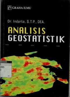
Analisis geostatistik
- Edisi
- -
- ISBN/ISSN
- 978-602-262-105-8
- Deskripsi Fisik
- vii, 196 hlm. : illus.
- Judul Seri
- -
- No. Panggil
- 910.0285 IND a
- Edisi
- -
- ISBN/ISSN
- 978-602-262-105-8
- Deskripsi Fisik
- vii, 196 hlm. : illus.
- Judul Seri
- -
- No. Panggil
- 910.0285 IND a

Simfoni Inovasi Cita dan Realita
- Edisi
- -
- ISBN/ISSN
- -
- Deskripsi Fisik
- 63 hal.
- Judul Seri
- -
- No. Panggil
- 600 KUS s
- Edisi
- -
- ISBN/ISSN
- -
- Deskripsi Fisik
- 63 hal.
- Judul Seri
- -
- No. Panggil
- 600 KUS s

Hidrologi: dasar teori dan contoh aplikasi model hidrologi
- Edisi
- -
- ISBN/ISSN
- 978-979-010-579-9
- Deskripsi Fisik
- xx, 280 hlm. : illus.
- Judul Seri
- -
- No. Panggil
- 551.48 IND h
- Edisi
- -
- ISBN/ISSN
- 978-979-010-579-9
- Deskripsi Fisik
- xx, 280 hlm. : illus.
- Judul Seri
- -
- No. Panggil
- 551.48 IND h
 Batas Wilayah
  Ekologi
  Fotogrametri
  Geografi
  Geologi
  GIS
GIS  Ilmu Tanah
  Kartografi
  Manajemen Bencana
  Oceanografi
  Penginderaan Jauh
  Peta
Peta