Ditapis dengan

Pembuatan model 3 dimensi (3D) untuk visualisasi jalur pendakian Gunung Lawu …
Indonesia merupakan wilayah yang didominasi oleh topografi gunung. Banyaknya animo pendaki tidak diimbangi dengan pengetahuan dan informasi mengenai gunung-gunung yang akan dilakukan aktivitas pendakian. Terutama informasi mengenai jalur pendakian, termasuk di Gunung Lawu. Oleh karena itu dibutuhkan informasi jalur pendakian yang mudah diakses serta informatif. Salah satu langkah tersebut merup…
- Edisi
- -
- ISBN/ISSN
- -
- Deskripsi Fisik
- xiv, 91 hlm. : illus. ; 28 cm.
- Judul Seri
- -
- No. Panggil
- 526.1 RES p

Principles of GPS surveying
- Edisi
- -
- ISBN/ISSN
- -
- Deskripsi Fisik
- ix, 101 hlm. ill.
- Judul Seri
- -
- No. Panggil
- 526.1 Riz P
- Edisi
- -
- ISBN/ISSN
- -
- Deskripsi Fisik
- ix, 101 hlm. ill.
- Judul Seri
- -
- No. Panggil
- 526.1 Riz P
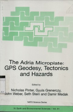
The Adria Microplate: GPS geodesy, tectonics and hazards
- Edisi
- -
- ISBN/ISSN
- -
- Deskripsi Fisik
- ix, 412 hlm.
- Judul Seri
- -
- No. Panggil
- 526.1 NIC a
- Edisi
- -
- ISBN/ISSN
- -
- Deskripsi Fisik
- ix, 412 hlm.
- Judul Seri
- -
- No. Panggil
- 526.1 NIC a

Geodetic sciences observation modeling and applications
- Edisi
- -
- ISBN/ISSN
- 978-953-51-1144-3
- Deskripsi Fisik
- ix, 344 hlm. illus.
- Judul Seri
- -
- No. Panggil
- 526.1 SHU g
- Edisi
- -
- ISBN/ISSN
- 978-953-51-1144-3
- Deskripsi Fisik
- ix, 344 hlm. illus.
- Judul Seri
- -
- No. Panggil
- 526.1 SHU g
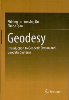
Geodesy : introduction to geodetic datum and geodetic systems
Geodetic datum (including coordinate datum, height datum, depthdatum, gravimetry datum) and geodetic systems (including geodetic coordinate system, plane coordinate system, height system, gravimetry system) are the common foundations for every aspect of geomatics. This course book focuses on geodetic datum and geodetic systems, and describes the basic. Theories, techniques, methods of geodesy. …
- Edisi
- -
- ISBN/ISSN
- 978-3-642-41245-5
- Deskripsi Fisik
- xxi, 401 hlm. : illus, l 24cm.
- Judul Seri
- -
- No. Panggil
- 526.1 ZHI g
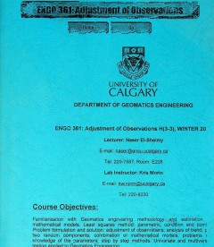
Engo 361: adjusment of observations
- Edisi
- -
- ISBN/ISSN
- -
- Deskripsi Fisik
- 110 hlm.
- Judul Seri
- -
- No. Panggil
- 526.1 Nas E
- Edisi
- -
- ISBN/ISSN
- -
- Deskripsi Fisik
- 110 hlm.
- Judul Seri
- -
- No. Panggil
- 526.1 Nas E
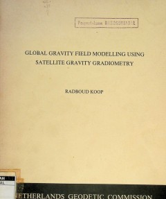
Global gravity field modelling using satellite gravity gradiometry
- Edisi
- -
- ISBN/ISSN
- -
- Deskripsi Fisik
- vii, 231 hlm. illus. 27 cm.
- Judul Seri
- -
- No. Panggil
- 526.1 Rad G
- Edisi
- -
- ISBN/ISSN
- -
- Deskripsi Fisik
- vii, 231 hlm. illus. 27 cm.
- Judul Seri
- -
- No. Panggil
- 526.1 Rad G

Pedoman praktis survei penentuan posisi dengan GPS
Buku Panduan Praktis Survei Penentuan Posisi dengan GPS ini diharapkan dapat memberikan petunjuk dan menjadi pegangan bagi para pelaksana survei GPS di Indonesia,baik praktisi surveyor pemeta untuk berbagai aplikasi dan juga bagi para mahasiswa yang tenga
- Edisi
- -
- ISBN/ISSN
- -
- Deskripsi Fisik
- -
- Judul Seri
- -
- No. Panggil
- Buku.Karya 2003/13 BAD p
Approximation of point clouds in two dimensions using chebyshev polynomials
This thesis investigates the approximation of point clouds by utilizing chebyshev polynomials in two dimensions. In particular, a two dimensional chebyshev polynomial functtion is defined as an approximated surface of the point clouds. Moreover, by incorporating fast fourier transform in the determination of Chebyshev coefficients, Chebyshev polynomials can be accomplished with the low computat…
- Edisi
- -
- ISBN/ISSN
- -
- Deskripsi Fisik
- xix, 112 hlm. : illus. ; 29 cm.
- Judul Seri
- -
- No. Panggil
- 526.1 YOR a

Besaran arah, dan karakteristik pergeseran kerak bumi di Danau Toba dan sekit…
- Edisi
- -
- ISBN/ISSN
- -
- Deskripsi Fisik
- vii, 34 hlm. illus.
- Judul Seri
- -
- No. Panggil
- Buku.Karya 2011/6604.2 SOB b
- Edisi
- -
- ISBN/ISSN
- -
- Deskripsi Fisik
- vii, 34 hlm. illus.
- Judul Seri
- -
- No. Panggil
- Buku.Karya 2011/6604.2 SOB b
 Batas Wilayah
 Ekologi
 Fotogrametri
 Geografi
 Geologi
 GIS
 Ilmu Tanah
 Kartografi
 Manajemen Bencana
 Oceanografi
 Penginderaan Jauh
 Peta